Plaetje:Somalilandregion 6827e78487r5.jpg
Gein hoeger resolutie besjikbaar.
Somalilandregion_6827e78487r5.jpg ((800 × 600 pixel, besjtandsgruutde: 30 kB, MIME type: image/jpeg))

|
Deze kaartafbeelding zou opnieuw moeten worden aangemaakt als een SVG-bestand door vectorafbeeldingen te gebruiken. Dit heeft een aantal voordelen; zie Commons:Media for cleanup voor meer informatie. Als er een SVG-formaat van deze afbeelding bestaat, dan deze graag uploaden. Nadat u dit heeft gedaan, gelieve dit sjabloon te vervangen door het sjabloon {{vector version available|nieuwe bestandsnaam.svg}} op deze afbeeldingspagina.
|


Besjrieving
| Besjrieving |
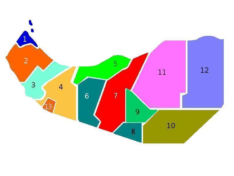
English: Somaliland map of regions |
| Brón | Eige werk |
| Sjriever | Hailsgloryfus |
Licentie:
| Iech, de autäörsrechhöbbende vaan dit wirk, geef dit wirk vrij in 't publiek domein. Dit is wereldwijd vaan toupassing. In sommig len is dit wettelik neet meugelek; in die gevalle gelt: Ich staon ederein toe dit wirk veur ènnig doel te broeke, zónger ènnig veurwaerj, behauve zölk veurwaerj dóre wet waere veurgesjreve. |
Besjtandshistorie
Klik op 'ne datum/tied óm 't besjtand te zeen wie 't oetzaog op det tiedsjtip.
| Datum/Tied | Miniatuurplaetje | Aafmaetinge | Gebroeker | Kómmentaar | |
|---|---|---|---|---|---|
| hujig | 20 jun 2020 20:41 | | 800 × 600 (30 kB) | Kzl55 | Reverted to version as of 16:50, 21 April 2009 (UTC) Out of scope, map depicts regions of Somaliland. |
| 20 jun 2020 19:57 |  | 800 × 600 (60 kB) | Meelpringthusss | see ongoing discussion at File_talk:Somalia_map_states_regions_districts.png#There_is_nuance_with_regards_to_control | |
| 21 apr 2009 18:50 |  | 800 × 600 (30 kB) | Hailsgloryfus | {{Information |Description={{en|1=Somaliland map of regions}} |Source=Own work by uploader |Author=Hailsgloryfus |Date= |Permission= |other_versions= }} <!--{{ImageUpload|full}}--> <!--{{ImageUpload|basic}}--> |
Plaetjesverwiezinge
Gein inkel pazjena gebroek dit plaetje.
Globaal besjtandjsgebroek
De volgende anger wiki's gebroeke dit bestandj:
- Gebroek in zh.wikipedia.org