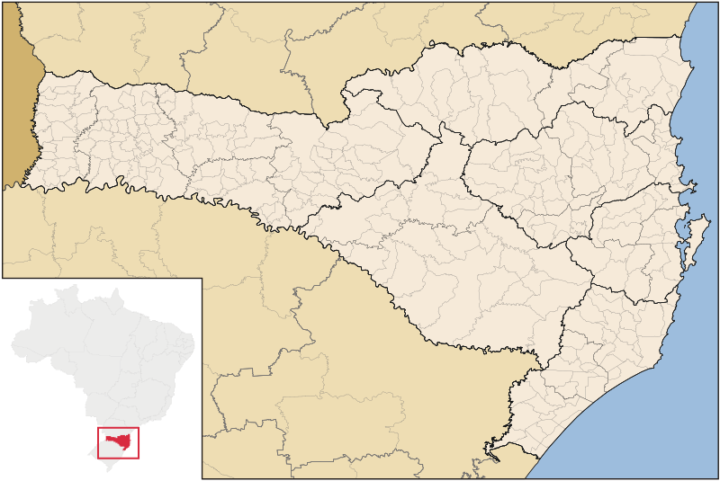
Plaetje:SantaCatarina MesoMicroMunicip.svg

Aafmaetinge van dees veurbesjoewing van 't type PNG van dit SVG-bestandj: 800 × 535 pixels Anger resoluties: 320 × 214 pixels | 640 × 428 pixels | 1.024 × 685 pixels | 1.280 × 856 pixels | 2.560 × 1.711 pixels | 1.481 × 990 pixels.
Oearsprunkelik bestandj (SVG-bestandj, nominaal 1.481 × 990 pixels, bestandsgruutde: 662 kB)
Besjtandshistorie
Klik op 'ne datum/tied óm 't besjtand te zeen wie 't oetzaog op det tiedsjtip.
| Datum/Tied | Miniatuurplaetje | Aafmaetinge | Gebroeker | Kómmentaar | |
|---|---|---|---|---|---|
| hujig | 8 sep 2006 06:52 |  | 1.481 × 990 (662 kB) | Raphael.lorenzeto | |
| 2 jun 2006 12:47 |  | 943 × 691 (613 kB) | Raphael.lorenzeto | {{User:Raphael.lorenzeto/DerivativeMaps}} {{Information| |Description=Map of Santa Catarina state |Source=own work |Date=June, 2 2006 |Author=Raphael Lorenzeto de Abreu |Permission={{self2|GFDL|cc-by-2.5}} |other_versions= }} [[Category:Maps of Santa Cata |
Plaetjesverwiezinge
Gein inkel pazjena gebroek dit plaetje.
Globaal besjtandjsgebroek
De volgende anger wiki's gebroeke dit bestandj:
- Gebroek in br.wikipedia.org
- Gebroek in eo.wikipedia.org
- Gebroek in es.wikipedia.org
- Gebroek in et.wikipedia.org
- Gebroek in fi.wikipedia.org
- Gebroek in fr.wikipedia.org
- Gebroek in oc.wikipedia.org
- Florianópolis
- Joinville (Santa Catarina)
- Balneário Camboriú
- Blumenau
- Itajaí
- Araranguá
- Biguaçu
- Chapecó
- Criciúma
- Abdon Batista (Santa Catarina)
- Abelardo Luz
- Agrolândia
- Agronômica
- Alfredo Wagner
- Alto Bela Vista
- Anchieta (Santa Catarina)
- Angelina (Santa Catarina)
- Anita Garibaldi (Santa Catarina)
- Anitápolis
- Antônio Carlos (Santa Catarina)
- Apiúna
- Arabutã
- Araquari
- Armazém (Santa Catarina)
- Arroio Trinta
- Arvoredo
- Ascurra
- Aurora (Santa Catarina)
- Balneário Arroio do Silva
- Balneário Barra do Sul
- Balneário Gaivota
- Balneário Piçarras
- Bandeirante (Santa Catarina)
- Barra Bonita (Santa Catarina)
- Barra Velha
- Bela Vista do Toldo
Bekiek wikiwied gebroek van dit bestandj.
