Plaetje:Africa map political.svg

Aafmaetinge van dees veurbesjoewing van 't type PNG van dit SVG-bestandj: 635 × 600 pixels Anger resoluties: 254 × 240 pixels | 508 × 480 pixels | 813 × 768 pixels | 1.084 × 1.024 pixels | 2.169 × 2.048 pixels | 1.525 × 1.440 pixels.
Oearsprunkelik bestandj (SVG-bestandj, nominaal 1.525 × 1.440 pixels, bestandsgruutde: 700 kB)
Besjrieving
| Besjrieving |
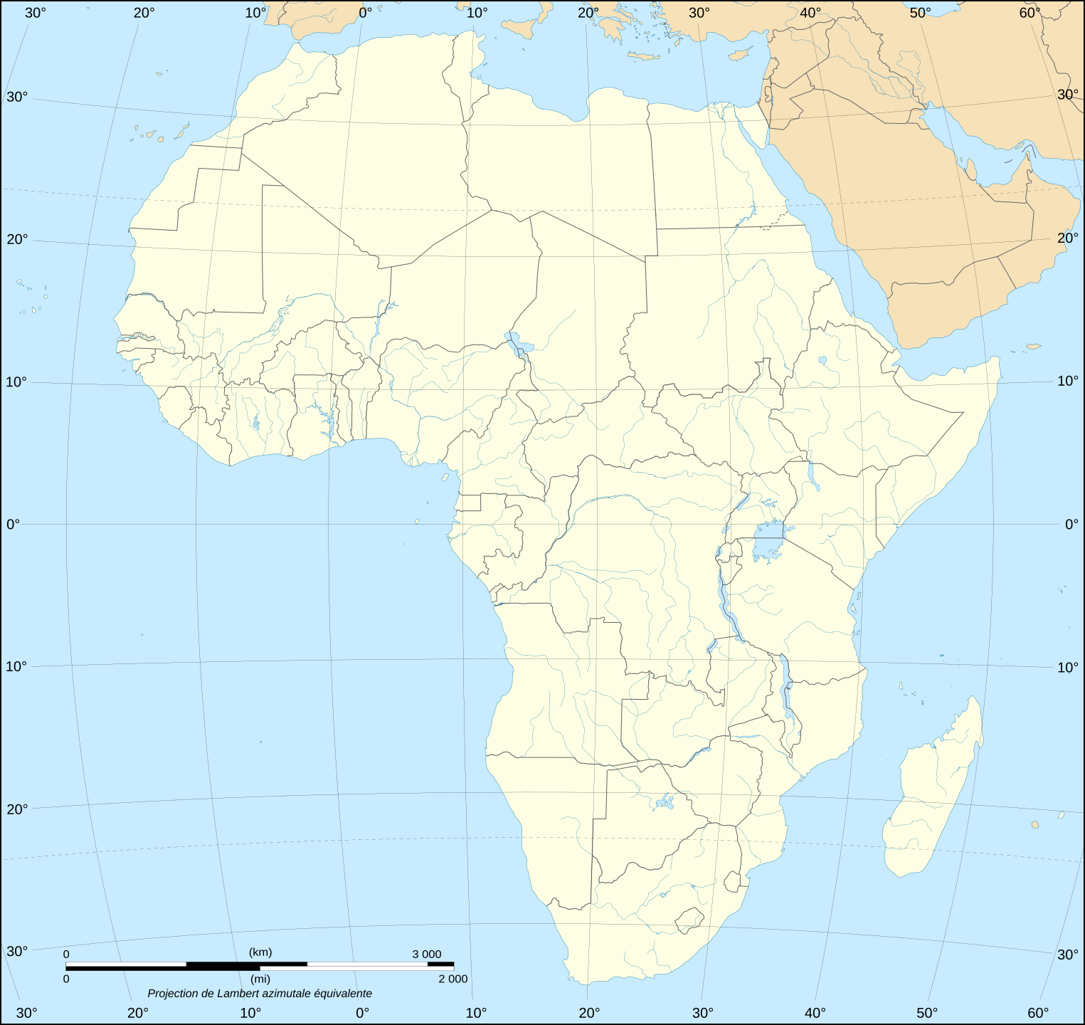
English: Blank political map of Africa as in 2011-07.
Français : Carte politique vierge de l'Afrique telle qu'en 07/2011.
Lambert azimutal equal-area projection, WGS84 datum, standard meridian: 15°E, standard parallel: 0° |
||
| Datum | June 2008 (new version), updated 2011-07 | ||
| Brón |
Own work
|
||
| Sjriever | Eric Gaba (Sting - fr:Sting) | ||
| Permissie (Hergebroek van dit besjtandj) |
|
||
| Anger versies |
Derivative works of this file:
|


Licentie:
Ich, de kopierechhaajer hievan, bring 't hiebie óngere vólgendje lisensje oet:

|
Toesteumming wert verleend veur t kopiëre, verspreide en/of wiezige van dit document onger de veurwaerd van de GNU-licentie veur vrieje documentatie, versie 1.2 of einige latere versie es gepubliceerd door de Free Software Foundation; zonger Invariant Sections, zonger Front-Cover Texts, en zonger Back-Cover Texts. n kopie van de licentie is opgenomme in de sectie GNU-licentie veur vrieje documentatie. |
| Dit bestandj steit gelicenseerdj óngere Creative Commons Attribution-Share Alike 3.0 Unported lisensje. | ||
| ||
| Dees licentie-tag woort tougevoeg aon dit bestand in verband mèt de GFDL licentie-update. |
Dit bestandj steit gelicenseerdj óngere Creative Commons Attribution-Share Alike 2.5 Generic, 2.0 Generic en 1.0 Generic lisensje.
- De maags:
- deile – aafsjrieve, verspreie en dórchgaeve
- hèrminge – 't wèrk aanpasje
- Óngere volgendje veurwaerj:
- Attribuusje – Geer mótj op 'n gepasdje meneer 'n naamsvermeljing make, 'ne link nao de licentie opgaeve, en aangaeve of g'r 't werk verangerd höb. Geer moog dit op eder raejelike meneer doon, meh neet zoea det 't liek ofwen de licentiegaever instump mit eur werk of eur gebroek van zie werk.
- Deil gliek – Went geer dit werk geremix, verangerd of doorverwirk höb, mótj geer 't verangerd matterjaal verspreie ónger dezelfde licentie wie 't oersjprunkelik werk, of 'n licentie die daomit samegeit.
De kens zelf de lisensje oetkeze.
Besjtandshistorie
Klik op 'ne datum/tied óm 't besjtand te zeen wie 't oetzaog op det tiedsjtip.
| Datum/Tied | Miniatuurplaetje | Aafmaetinge | Gebroeker | Kómmentaar | |
|---|---|---|---|---|---|
| hujig | 14 jul 2011 22:42 | | 1.525 × 1.440 (700 kB) | Sting | Sudan/South Sudan 2011-07 border update |
| 10 jan 2009 22:41 |  | 1.525 × 1.440 (695 kB) | Sting | Detail correction | |
| 28 jun 2008 01:15 |  | 1.525 × 1.440 (696 kB) | Sting | Completely new drawing with known projection ; new colors | |
| 21 sep 2006 22:58 |  | 1.390 × 1.295 (558 kB) | Sting | Colours | |
| 31 mei 2006 23:17 |  | 1.390 × 1.295 (558 kB) | Sting | {{Information |Description=Blank political vector graphic map of Africa |Source=Several bitmap-type maps |Date= May 2006 |Author= Eric Gaba (Sting) |Permission=GFDL or CC-BY-SA |other_versions=[[:Image:Africa_ma |
Plaetjesverwiezinge
Gein inkel pazjena gebroek dit plaetje.
Globaal besjtandjsgebroek
De volgende anger wiki's gebroeke dit bestandj:
- Gebroek in fr.wikipedia.org
- Gebroek in no.wikipedia.org